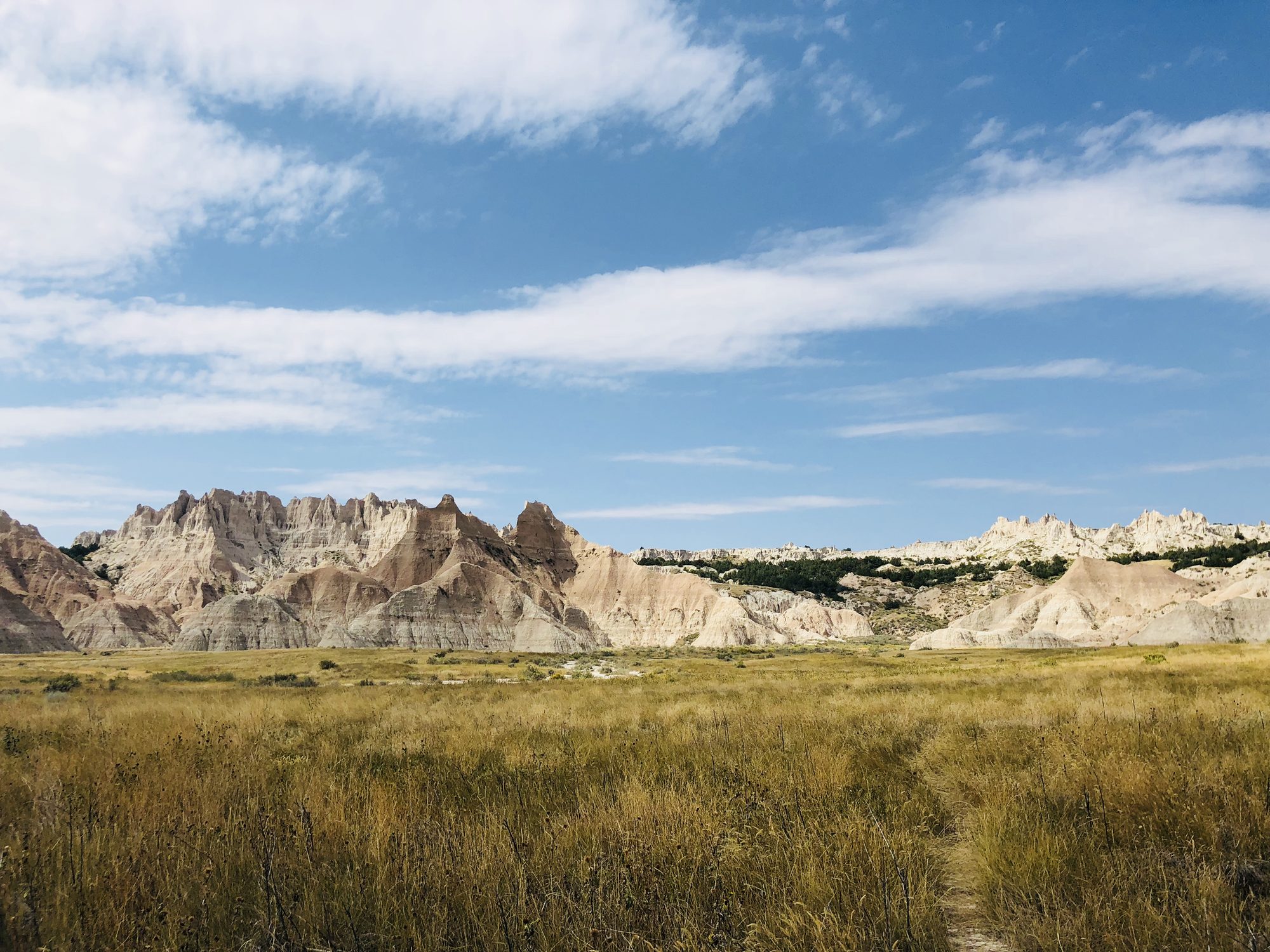
I used to introduce myself with one line: "I am addicted to the Himalayas." My last trip to those peaks was in the summer of 2013, when I served as a camp leader at a 12,500-foot campsite during the Sar Pass trekking expedition. Each morning, after seeing off the trekkers, the mountains became mine alone. I'd watch clouds change shape across jagged ridgelines and be reminded how small we humans are in the presence of such grandeur, and how freeing that smallness can feel.
Then I moved to the US, and the mountains became something I missed instead of something I did. I hiked Shenandoah whenever I could. The trails were peaceful, the forests calming, but they never stirred my soul the same way. The Himalayas had spoiled me.
So in the summer of 2018, a few months into a new job and itching for something bigger, I went looking for my next great adventure.
Alaska, the Rockies, or a dare
The two names that kept coming up were Alaska and the Rockies. Both had the grandeur to rival the Himalayas. For days I lingered over them, reading trail reviews, comparing gear lists, picturing myself in those vast spaces.
Alaska pulled at my imagination the hardest. It looked otherworldly, a true frontier. Then the numbers told a different story: flights, permits, specialized gear, logistics. A price I couldn't justify as a recent graduate still paying off student loans. The Rockies were closer and cheaper, but the deeper I read, the more cautious I became. Unpredictable storms. Wild temperature swings. And almost every trail description carried the same reminder: bear country. For my first solo backpacking trip, I wanted a challenge. Not one that had me clutching bear spray every night, second-guessing every sound in the dark.
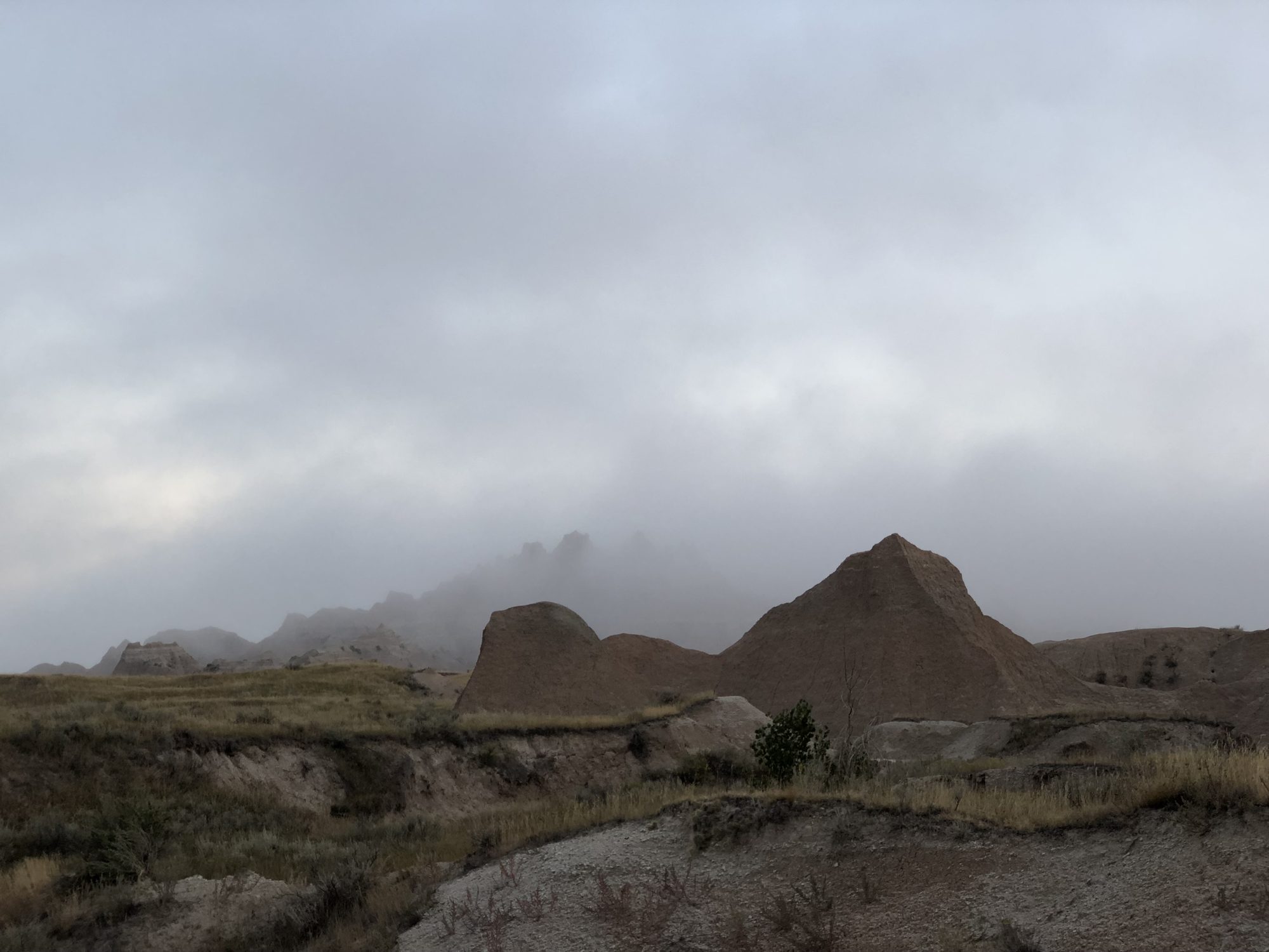
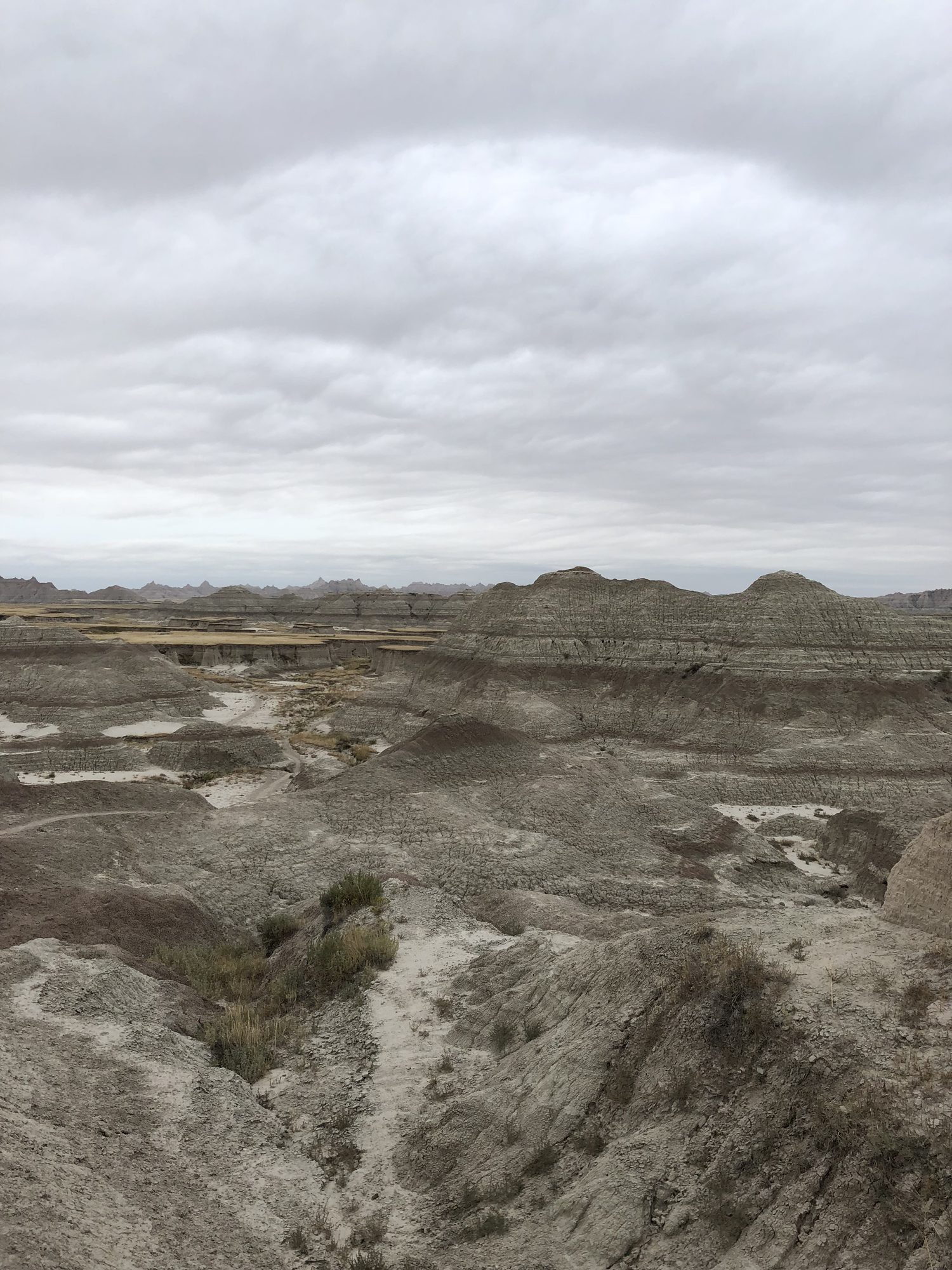
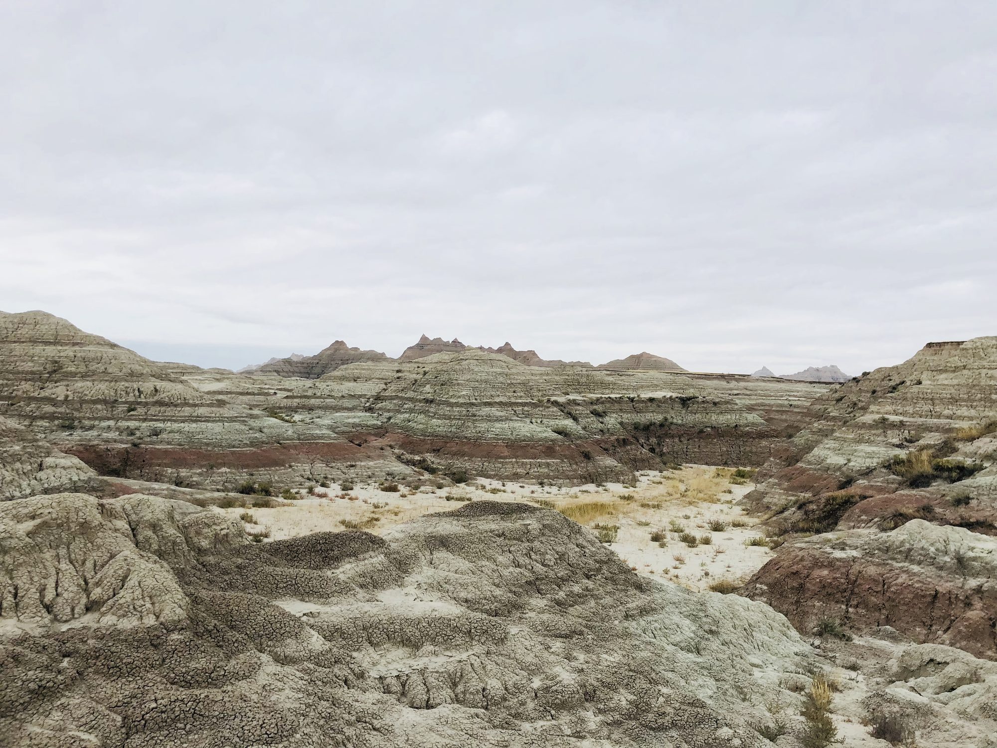
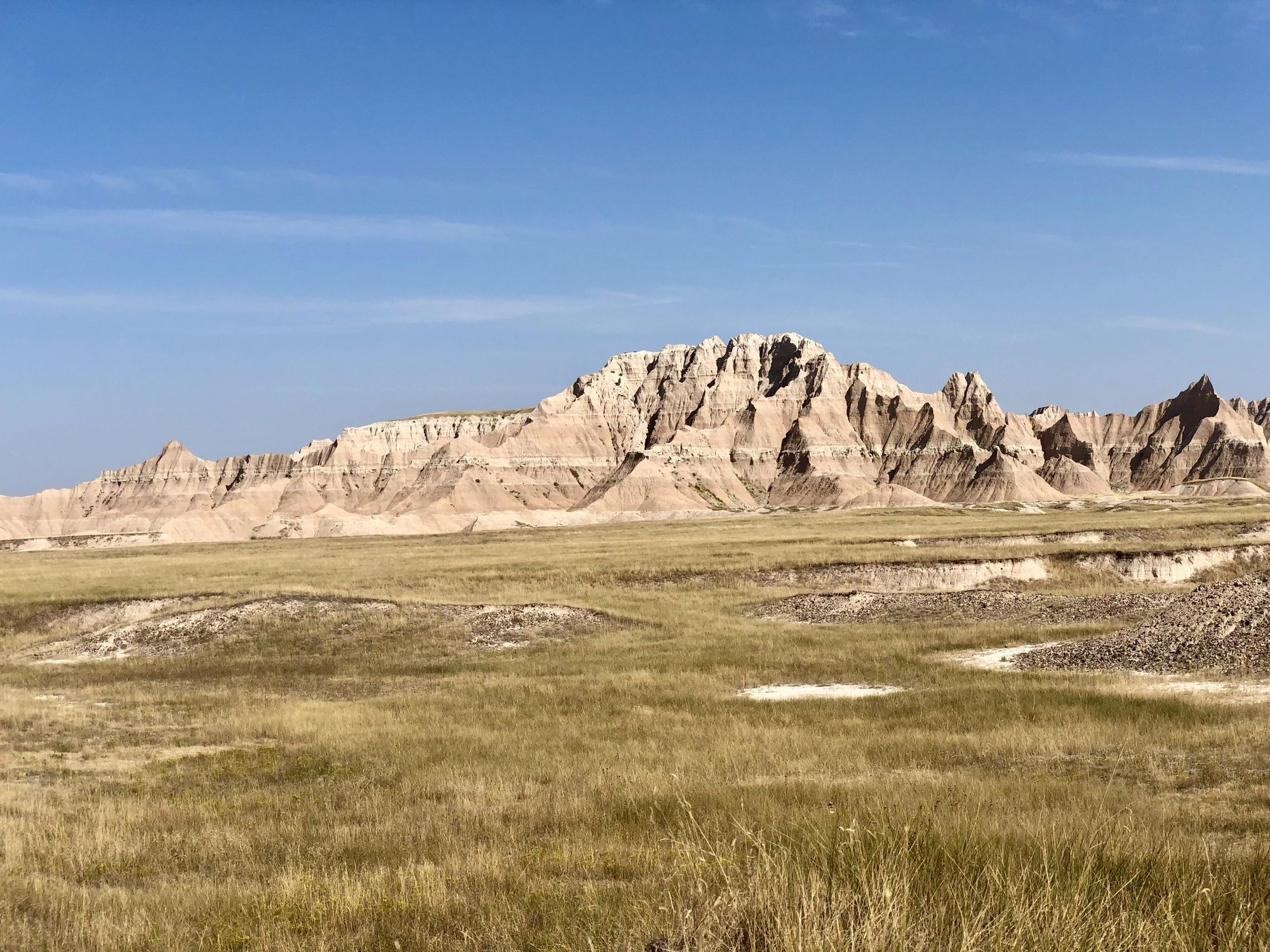
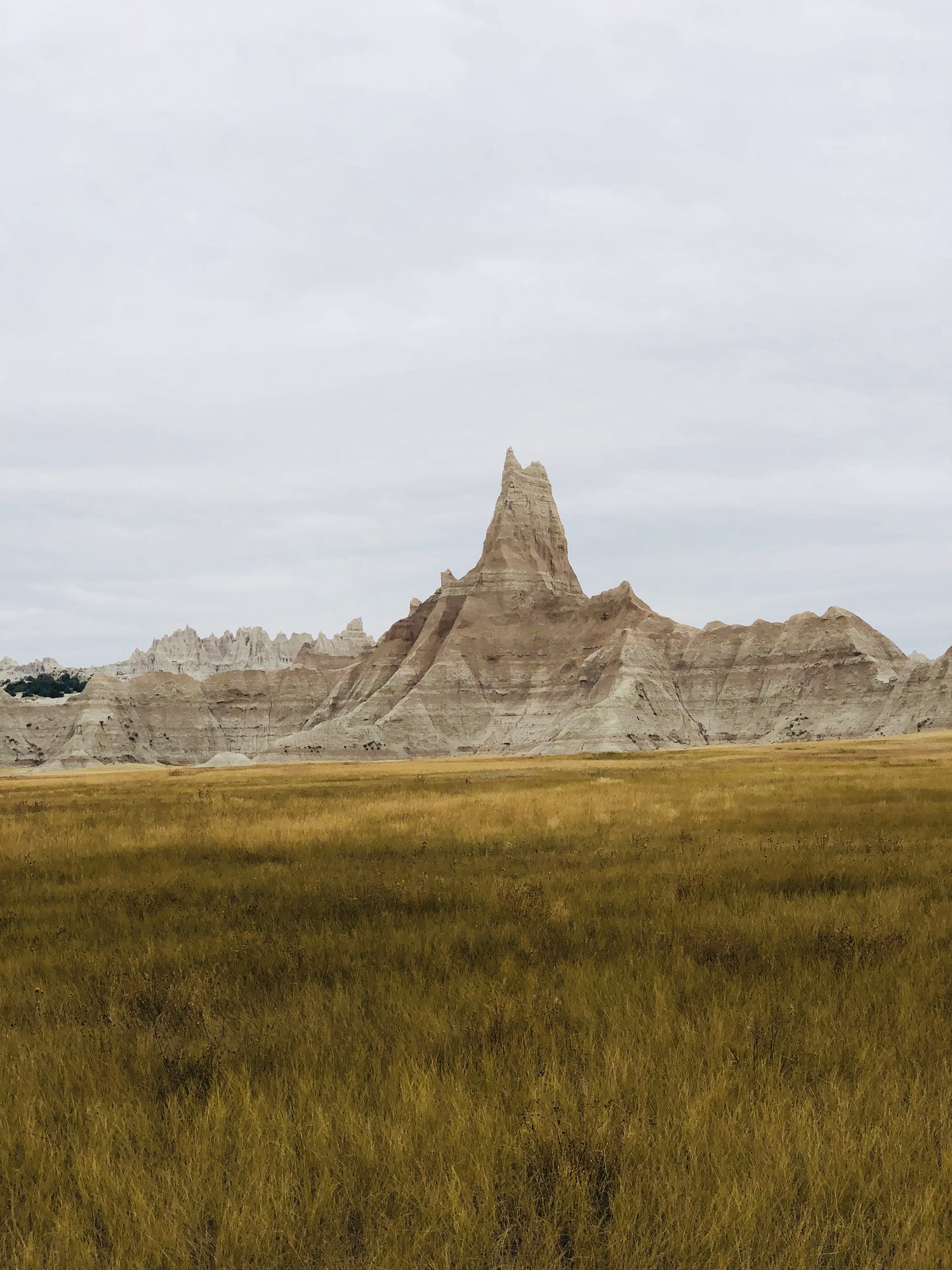
Then, almost by accident, I stumbled onto something entirely different: the Sage Creek Wilderness Loop in South Dakota's Badlands. The description read less like a trail guide and more like a dare. About 23 miles. No water sources. No marked paths. Navigation by map and compass across rugged, open terrain, with heat and exposure as the primary tests. All of it set against a backdrop that looked like it belonged on another planet: jagged ridges, striped cliffs in shades of red, gold, and gray, and skies so wide they promised silence in every direction.
The more I read, the more it clicked. The Badlands weren't trying to imitate the Himalayas or compete with the Rockies. They were something else altogether: stark, raw, and humbling in a different way. An unforgiving landscape that demanded respect and rewarded preparation.
That was exactly what I was looking for. I booked flights for Labor Day weekend. The Himalayas could wait.
Training for one moment
I don't do trips casually, and this one didn't allow it. No trail and no water meant every mistake would be mine alone to fix.
I ran the route's 3D animation every day until the terrain felt familiar, its ridges and turns slowly burning into memory. I taught myself compass and map navigation from YouTube videos and blog posts, taking notes like I was back in school. Then I tested myself before trusting my skills in the backcountry: I took a printed map and compass to Burke Lake in Virginia and practiced triangulating my position. I made mistakes, of course. That was the point. By the end of that afternoon I walked away with something better than confidence: earned clarity.
I printed the AllTrails map in four large quadrants, big enough that I wouldn't be squinting at a tiny outline in the wind. On each sheet I marked landmarks and escape routes. As an extra safeguard, I downloaded offline maps on both AllTrails and Google Maps. In hindsight, those downloads would prove to be some of the smartest decisions I made.
The physical prep was just as specific. I have a history of back trouble, and my pack would weigh around 55 pounds on Day One, most of it water. Four gallons, one per day, more than 30 pounds before I loaded a single meal. So I trained for exactly one moment: a steep climb under full weight in the South Dakota sun. My routine was loading the pack and climbing the stairs of an 11-story building. Up, down, up again.
My parents voiced concern. My friends weren't surprised; they knew me well enough to expect something like this. Colleagues suggested a satellite phone. I smiled, appreciated it, and left it behind. I trusted my planning. And more importantly, I trusted myself.
The Badlands would have opinions about that.
Day 1 or Day -1?
My alarm went off at 3:45 a.m. By 5:15 I was at the gate at Dulles, carrying that sharp, buzzing mix of excitement and focus that stirs just before an adventure. Everything felt like it was lining up.
Then came the first delay. Bad weather across the Midwest. When I landed in Chicago around 10 a.m., ironically the time I was supposed to be landing in South Dakota, I got the message: connection cancelled. No alternatives, no same-day flights. The next option was the following morning.
Just like that, Day One was gone. I stood there staring at my phone. I had planned this trip for weeks; every detail, every hour, every mile was part of a puzzle, and now the puzzle was cracked at the edge. All I could do was get there and decide on the ground. I spent the night in an airline hotel sending a few messages: "Plan's gone sideways, might have to shorten the trip."
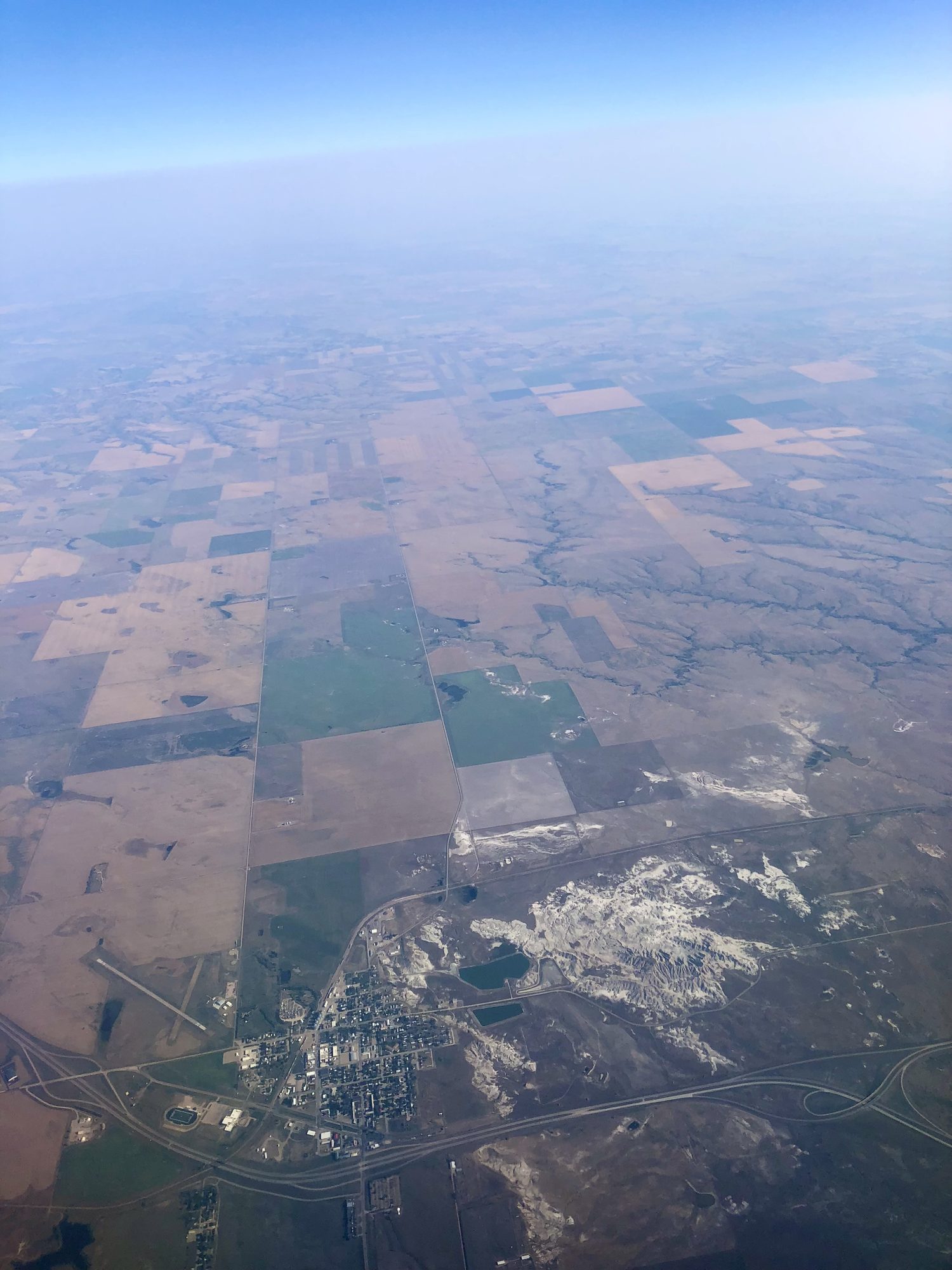
The next morning's flight was mercifully on time. As the plane descended into Rapid City, I watched patchy farmland slide past the window, square plots in green and brown, everything flat and organized. Then my eyes caught it: a stark patch of white-gray terrain, rough and jagged, breaking the symmetry. A piece of the Badlands. Is that it? Is that where I'll be walking for the next three days? Even from thousands of feet up, it looked unforgiving. And beautiful.
"What could possibly go wrong?"
Rapid City's airport was tiny, and within minutes I had my pack, my rental car, and a mission. A Walmart run for a fuel canister, wet wipes, and four gallons of water. On the drive out, the rolling plains gave way to formations that looked like giant waves of earth frozen in time. I'd studied this place so much that seeing it in person felt like déjà vu. Somewhere along the way I passed an alpaca farm, which I definitely had not read about. A small surprise, and a good one.
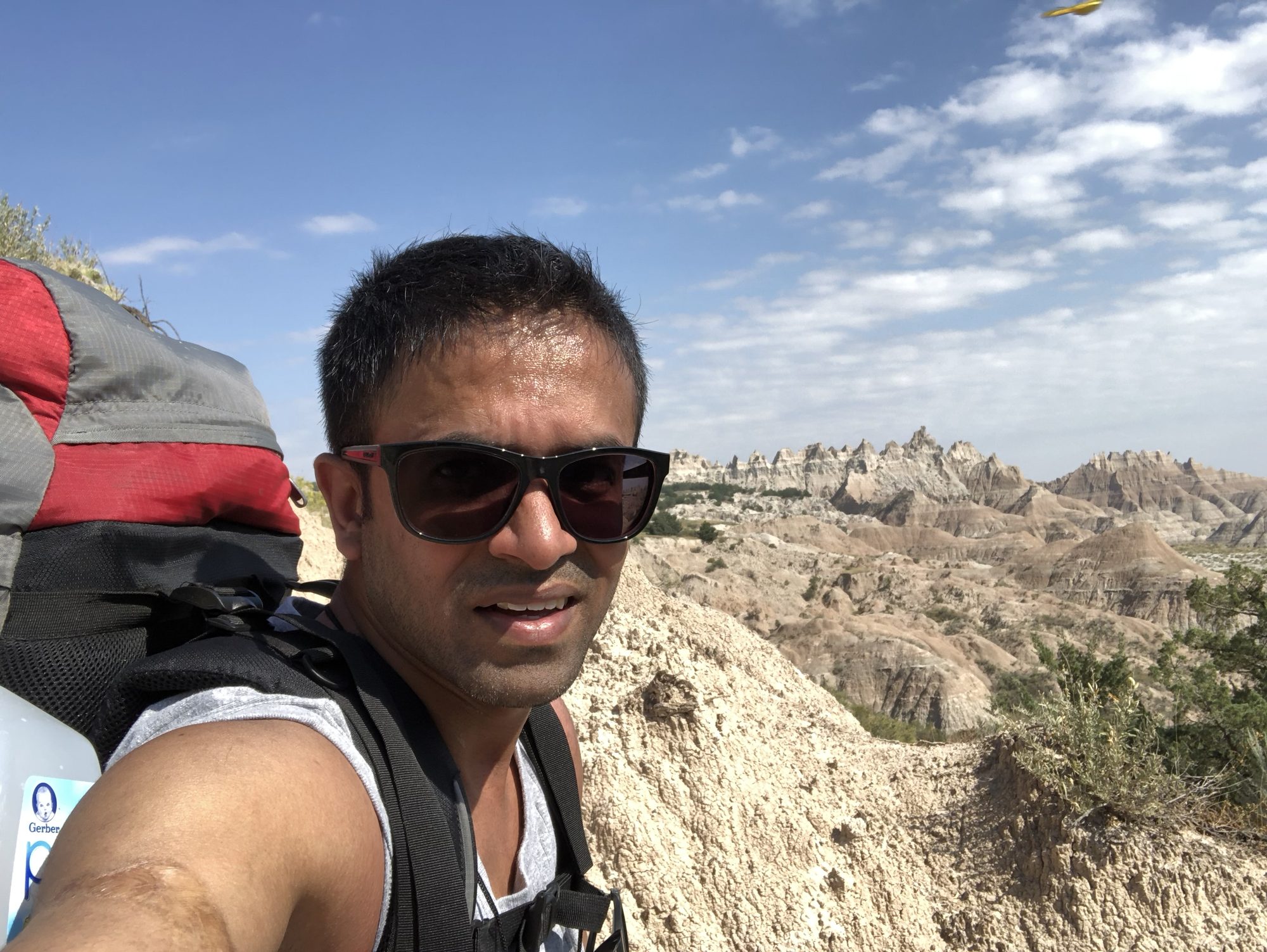
At the Conata Picnic Area trailhead, the air was dry and hot, full sun, no clouds. I changed into shorts and a tank top (remember this decision), used the trunk to hoist 55 pounds onto my shoulders, and signed the trail register. No ceremony, no send-off. Just me, the heat, and the open trail.
A mile in, I crossed paths with a couple finishing the loop. "You'll love it," they said, and their energy gave me a bounce. Then, near the base of the Deer Haven climb, I met another solo hiker. He looked wiped. "Just tried to reach Deer Haven," he said, catching his breath. "Too steep. Couldn't figure out the way up."
I listened politely. In my head, I was smug: he probably didn't do his homework. I'd studied the maps, watched every animation, practiced navigation. What could possibly go wrong?
The shortcut
The start of the climb felt fine. Then, at some point, I convinced myself I saw a better way. A shortcut. I veered off the route, confident I'd rejoin it just ahead.
That decision changed everything.
The terrain thickened fast. Thorny shrubs pressed in from all sides. Then came the washes: deep, carved-out gullies with sudden fifteen-foot drops, impossible to cross directly. Every few hundred steps I'd hit another wall and have to reroute. The sun was relentless, and the pack had become an anchor. I was sweating heavily and draining fast.
Eventually I decided to drop the pack near a recognizable cluster of shrubs and scout ahead on foot. After a few turns, I was lost again. Not from the trail this time. From my own gear. I wasn't looking for a route anymore; I was hunting for everything I needed to survive out here. Panic wasn't far, but I stayed calm, retraced my sequence of bad decisions, and finally spotted the familiar shrubs. I sat down beside the pack and exhaled hard.
I hadn't eaten since breakfast in Chicago, so I set up my stove for a late lunch. Click. Nothing. Click. Nothing. You've got to be kidding me. After far too many tries, a flame finally appeared, and one tiny flame had never looked so beautiful. The red beans and rice didn't taste great, but it felt earned.
Then came the cruelest discovery of the day. I pulled out the compass and printed map I had trained so hard with, ready to fix my position, and realized every landmark I'd memorized was invisible: hidden behind uneven terrain and dense brush. Navigating this place visually was close to impossible. The skills I had built for this exact trip were useless here, and climbing up and down with a 55-pound pack just to get a visual read wasn't sustainable.
I sat on my pack, drained and genuinely unsure of what to do next. For the first time, doubt crept in. Maybe this was too much. Maybe I'd underestimated the terrain. Maybe I wasn't ready. I had come so far just to get here, and on the very first leg of the trail I was debating turning back.
Then a thought hit me: does Google Maps still show your GPS location without a signal?
I pulled out my phone, opened the offline map, and there it was. A blue dot. My dot. Moving as I moved. I checked it against the printed map and couldn't believe what I saw: I was about 50 meters from the ridgeline "gate" I had watched dozens of times in the 3D animations.
Fifty meters. That close.
A second wind hit me. I strapped the pack on and moved forward, slowly, carefully, no clear path, just determination and direction. As I scrambled up a final slope, the gate appeared, exactly as I had imagined it. I stood there breathing hard while relief washed over me.
That small blue dot had kept the trip alive.
The sheep on the ridge
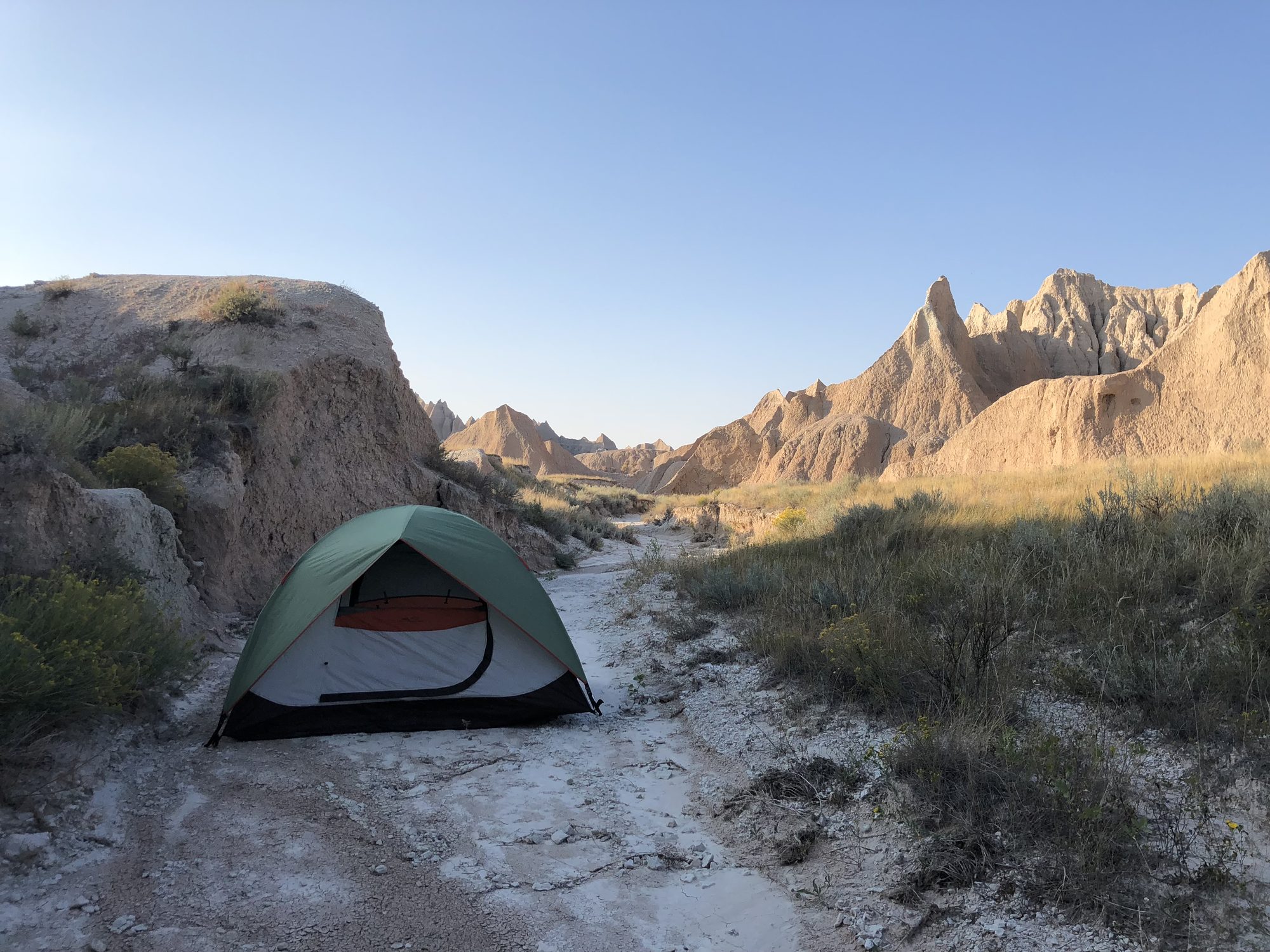
The top of Deer Haven felt like breaking through a wall I didn't know I had. The terrain finally opened: no more shrubs, no gullies, just wide space and a horizon I could actually see. I dropped my pack and sat on the sun-baked ground, out of breath, drenched, and completely alive.
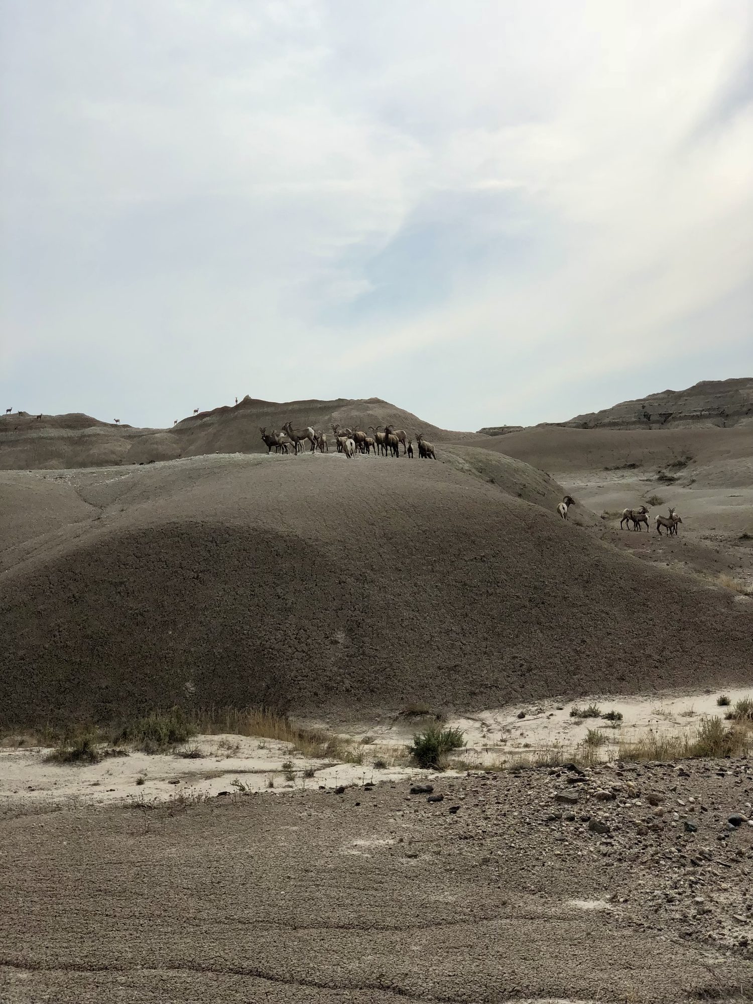
As I was setting up my tent, something caught my eye. On a ridge not far away, a bighorn sheep stood perfectly still. Watching me. Not scared, not aggressive. It just observed, calm and wild, and for a long moment we studied each other.
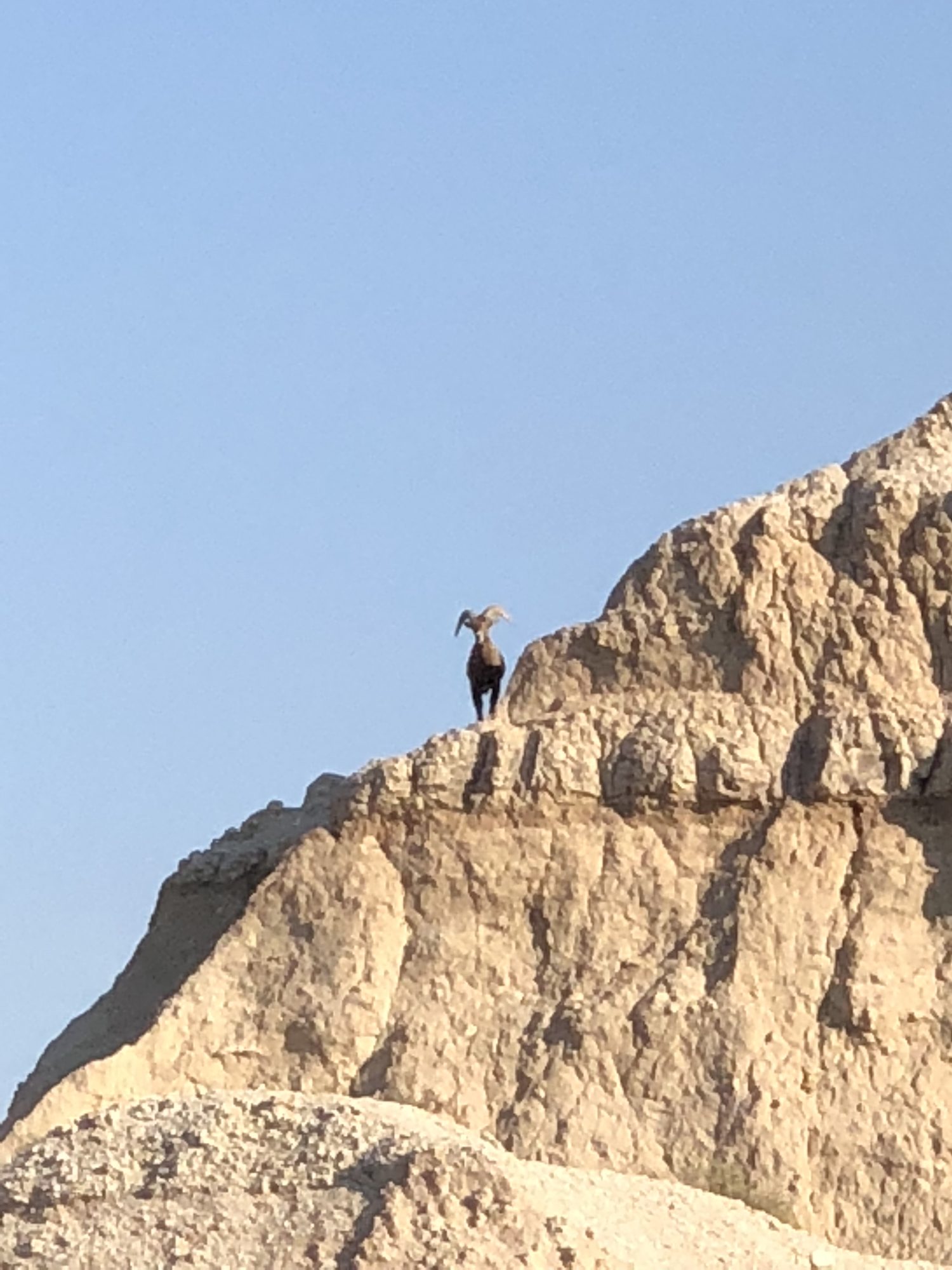
That's when it truly landed: I was really here. Completely alone. No other hikers, no traffic, no signal. Just me and this animal sharing space like two strangers trying to understand each other. No amount of planning could have prepared me for how real that solitude felt. Somehow the sheep's presence felt like company. Maybe even a welcome.
That night I did the math by headlamp. My power bank held roughly two more days of phone navigation, and the blue dot was now the only navigation that worked. So I adjusted: the slow four-day loop became three days, ten miles a day for the last two. It wasn't how I planned it. But maybe that was the point. This trip was never about proving I had every answer. It was about learning to keep going when the trail disappears and the skills don't work.
I zipped into my tent as the sky faded. Not in control. But calm.
Blue dot confidence
I woke just after 6 a.m. to air in the mid-50s, a stark contrast to the previous day's furnace, and a silence so complete it felt holy. I had slept like a rock.
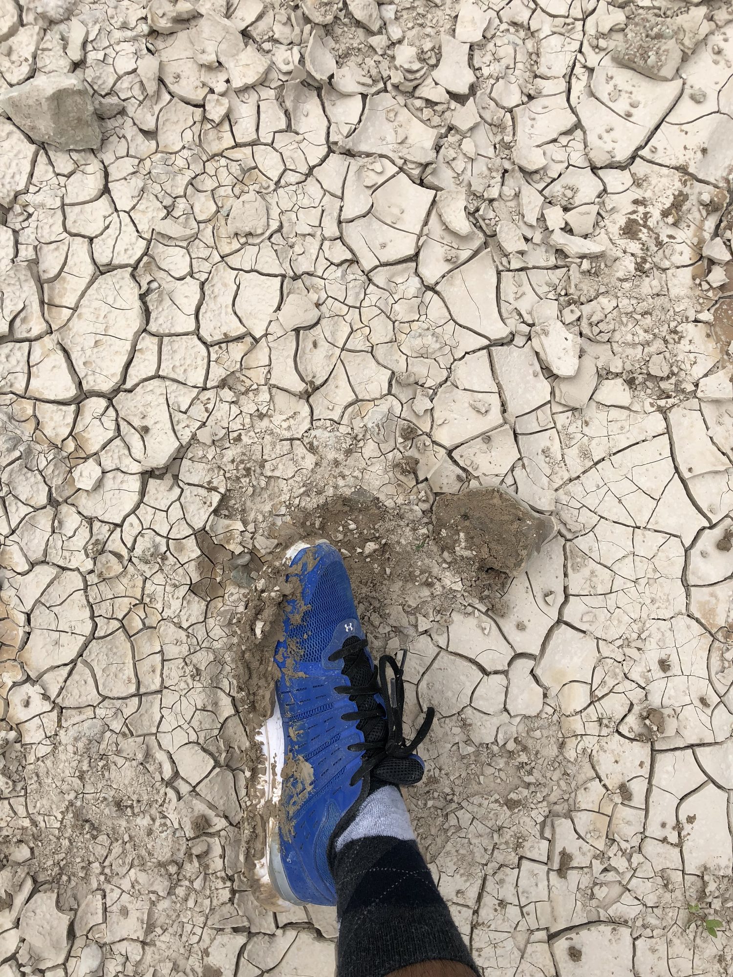
In daylight, the landscape revealed its secret. The buttes that stood like fortresses from a distance were soft and chalky up close; I ran my fingers across one wall and it crumbled like stale pastry. From far away: fortress. From up close: sandcastle. The Badlands had a way of making you feel like both a time traveler and a trespasser.
I went through what was becoming my ritual: ten minutes of stretching for my back, granola with blueberries, camp broken down, and an all-systems check. AllTrails responsive, GPS behaving, power bank handy. My compass stayed buried in the pack, a novelty item from a version of this trip that no longer existed. My blue dot was king.
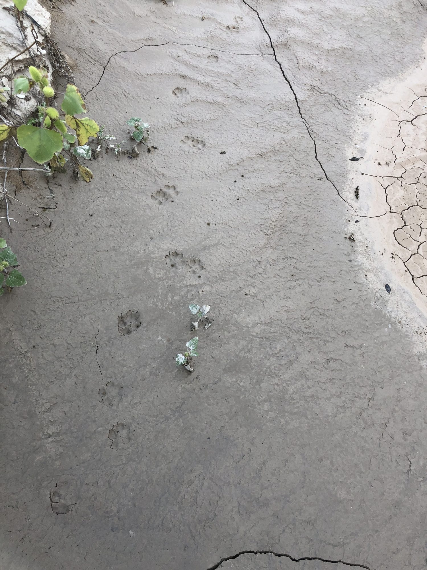
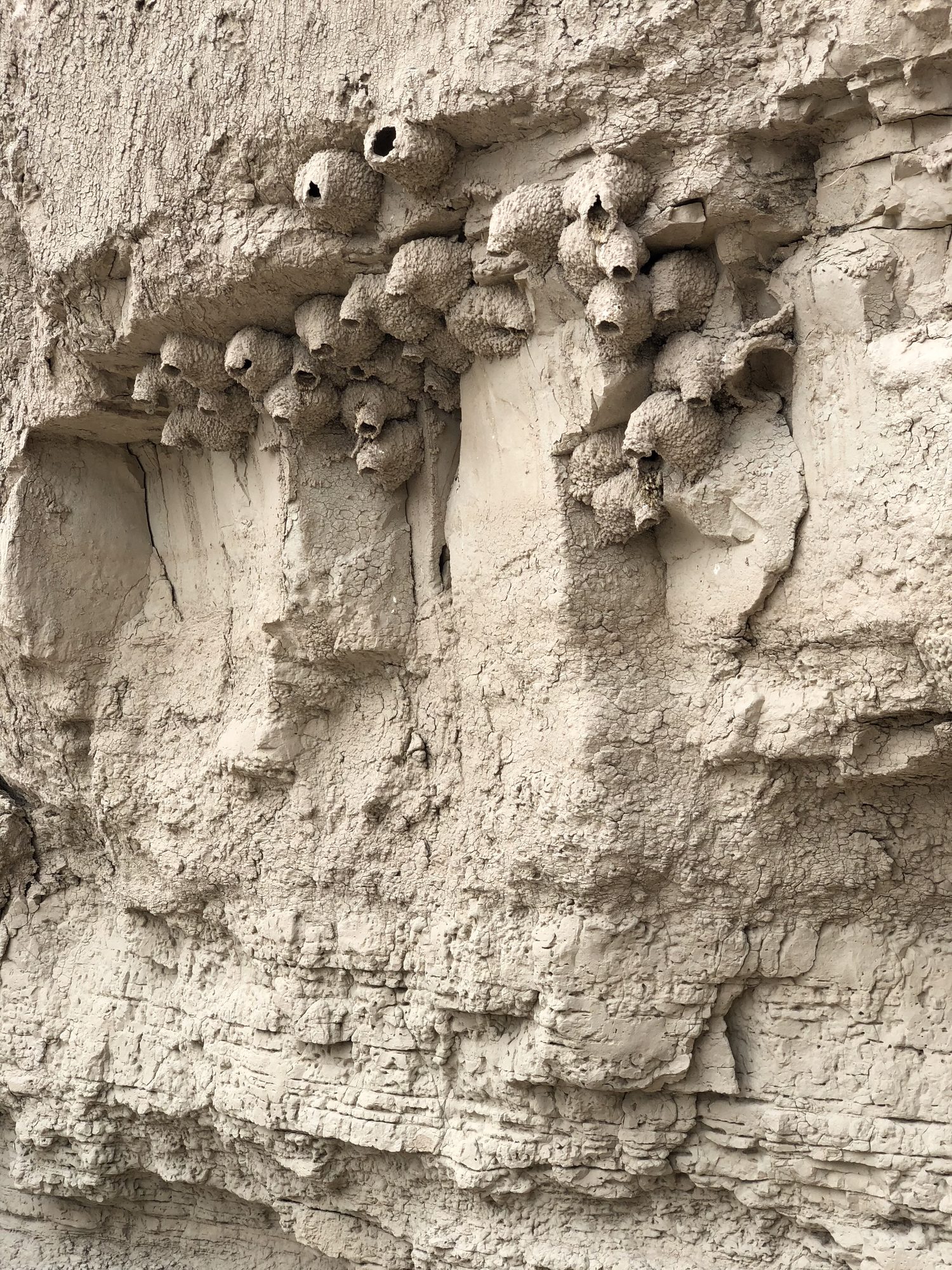
The morning route dropped into a wash, a natural corridor flanked by curving clay walls that ebbed and flowed like frozen waves. Cliff swallow nests clung to the walls in tight colonies, like nature's apartment complexes. I spotted coyote prints, fresh enough to raise an eyebrow, not fresh enough to raise an alarm. To keep the miles moving I turned the wash into Thermopylae, whispering "Hot Gates" into the wind, rationing water sips like a general on campaign against the noon sun. Step. Breathe. Scan. Somewhere in there, the wash lulled me enough that I drifted right past my turn; the blue dot revealed the betrayal, and back I went, laughing at being outflanked by my own Hot Gates.
Then: prairie. Golden grass stretched like an ocean, rippling in the wind, and the trail became more suggestion than path. Twice I caught myself following confident-looking tracks that turned out to be beaten in by bison or pronghorns; their trails have a purpose, but they don't lead to my campsite.
The grass looked soft from a distance. It wasn't. Every blade was a tiny knife, and in shorts, my shins were soon a canvas of red lines and swelling welts. Then a sharp sting in my toe made me yelp: a prickly pear hiding beneath the grass had driven a spine straight through my shoe and into my big toe. I sat down hard. Lesson learned: not all dangers announce themselves.
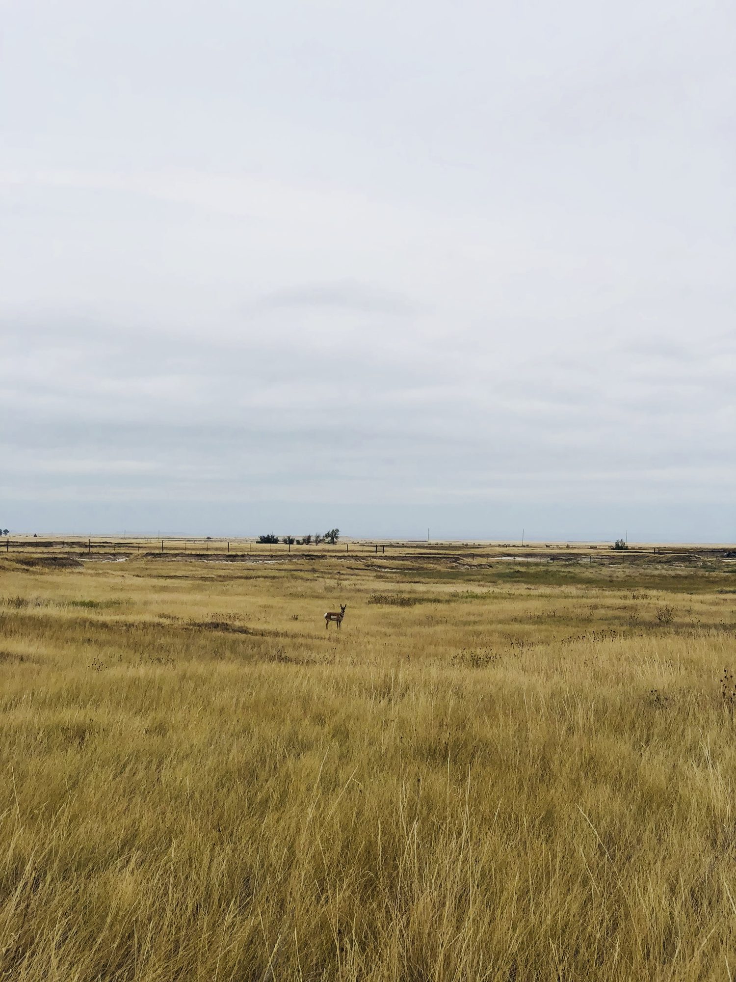
Lunch was flat and bland, and I only forced down half the pouch before packing the rest away. I would pay for that. By late afternoon my legs ached, my body asking for fuel I hadn't provided. But the prairie kept offering the moments I came for: a herd of pronghorns, elegant and alert, moving as one to a lookout to watch me pass. I stood still and whispered, "Just passing through."
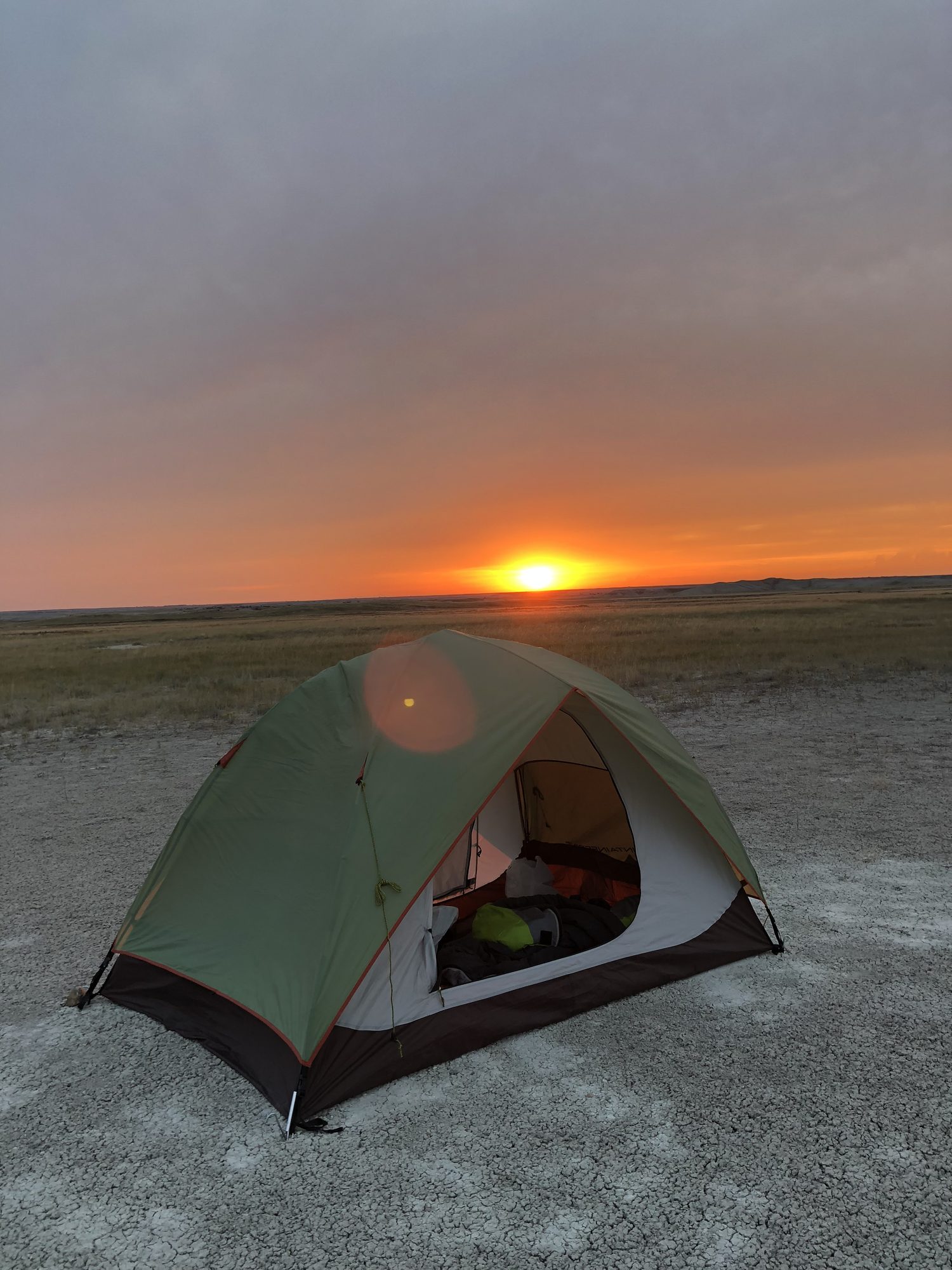
Camp that evening was a wide, flat patch with no cactus and no threats, just open sky. Dinner was the cold, half-eaten lunch, still bland, still necessary. I sat outside the tent picking grass awns out of my socks and watching the sunset while the land exhaled around me. Somewhere in the distance, a coyote howled. I was too tired to care. Good night, buddy.
Just keep walking
The final morning I was down to a gallon and a half of water and a body that felt okay: not fresh, but functioning, sore in the way that feels earned. By 7:30 I was marching.
Thirty minutes in, I caught movement on the horizon. A bison, staring straight at me. Then, surprisingly, it took off in the opposite direction. "Look at your size, dude," I muttered, amused. "I can't hurt you even if I wanted to."
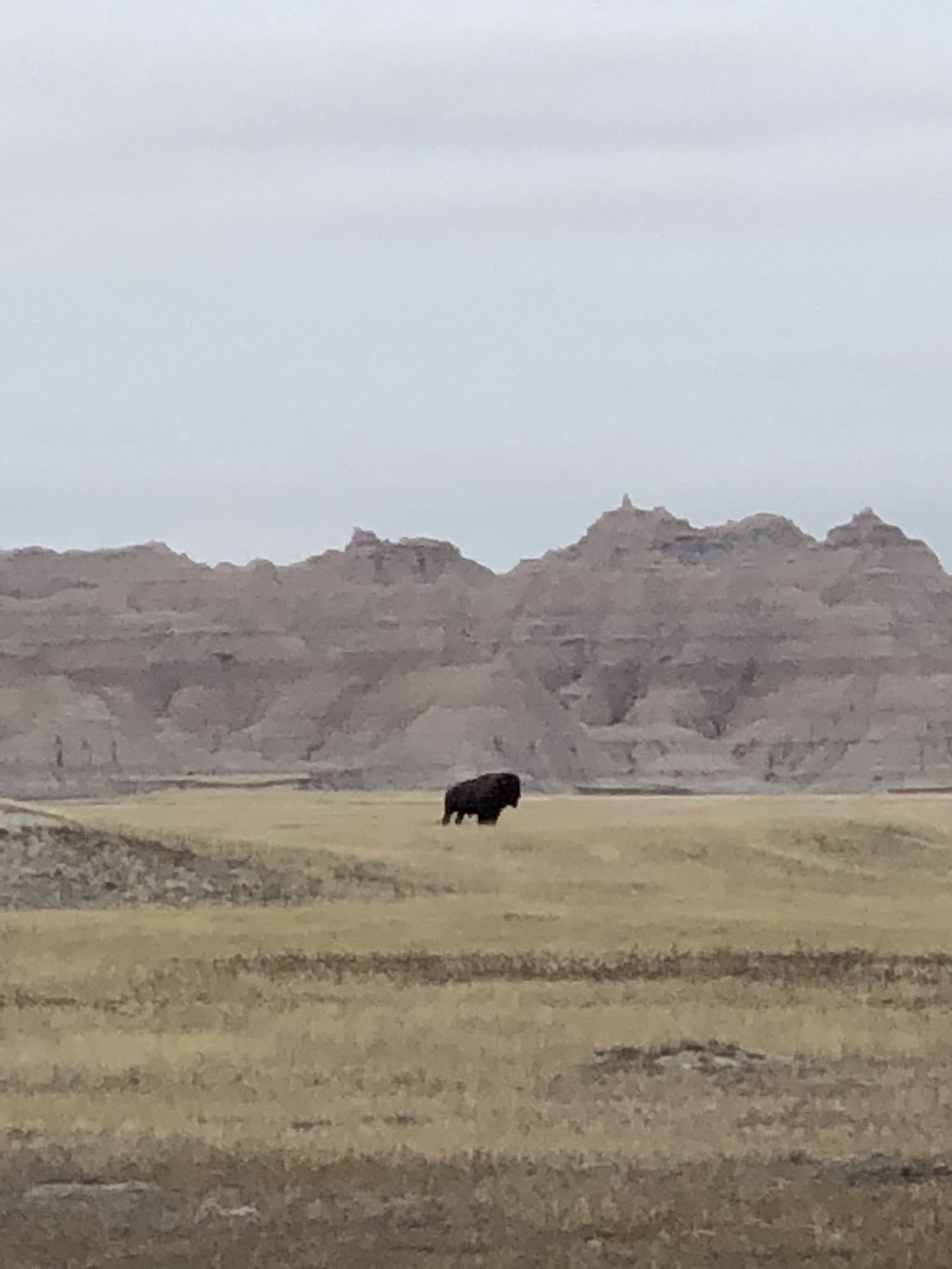
The prairie saved its best trick for last: sameness. The clear formations were gone, the horizon blurred direction, and the ground undulated in ways that could quietly pull you off course. I second-guessed everything. Without the blue dot I would have been hopelessly lost. When I spotted another bison herd in the distance, the photographer in me stirred: what if I got a little closer? But the Badlands had drilled its lesson in by now. The landscape lies. That flat-looking stretch was almost certainly hiding gullies and drop-offs. I stayed the course.
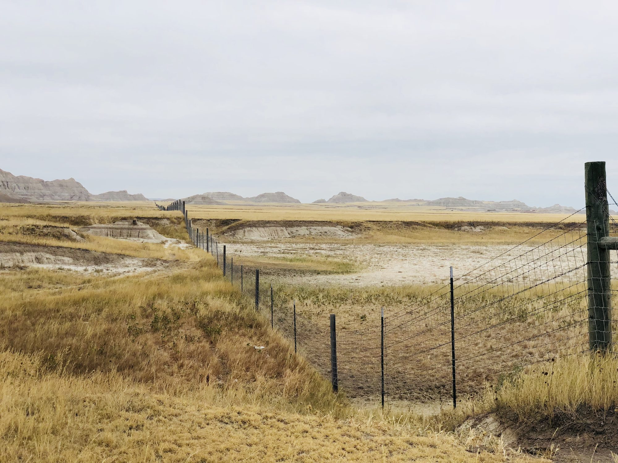
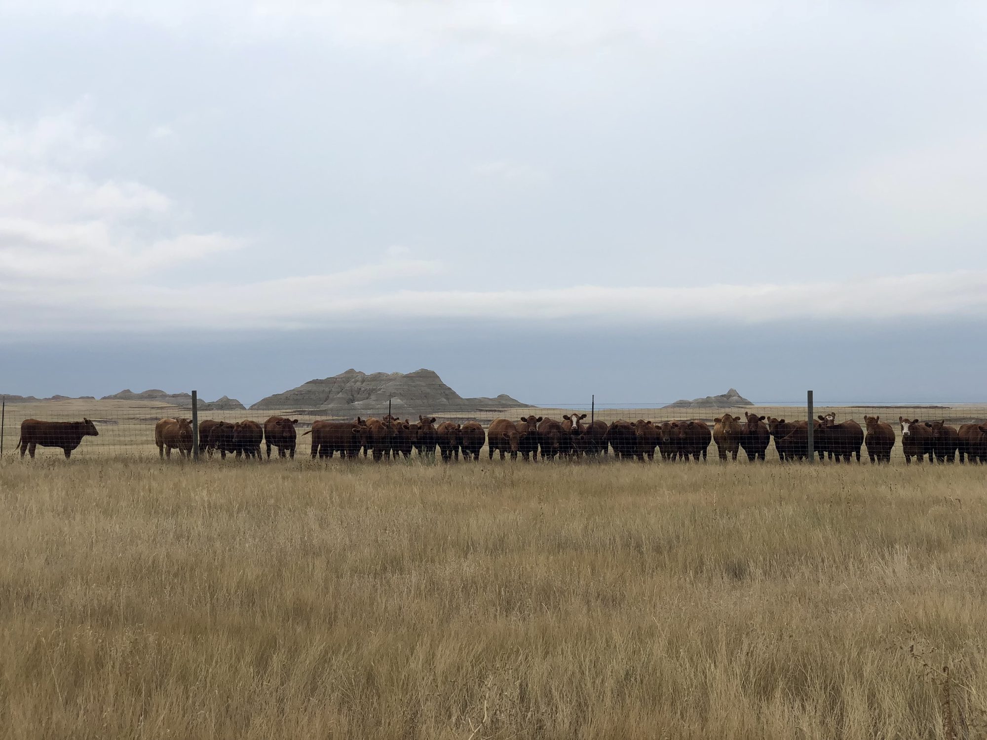
Soon, signs of human life returned: ranch fencing along the horizon. A group of resting cows perked up as I approached and trotted straight to the fence to stare at me. I walked, they followed. I stopped, they stopped. It became a bizarre little game, and the moment I pulled out my phone to record it, they lost interest and wandered off. Stage fright, maybe.
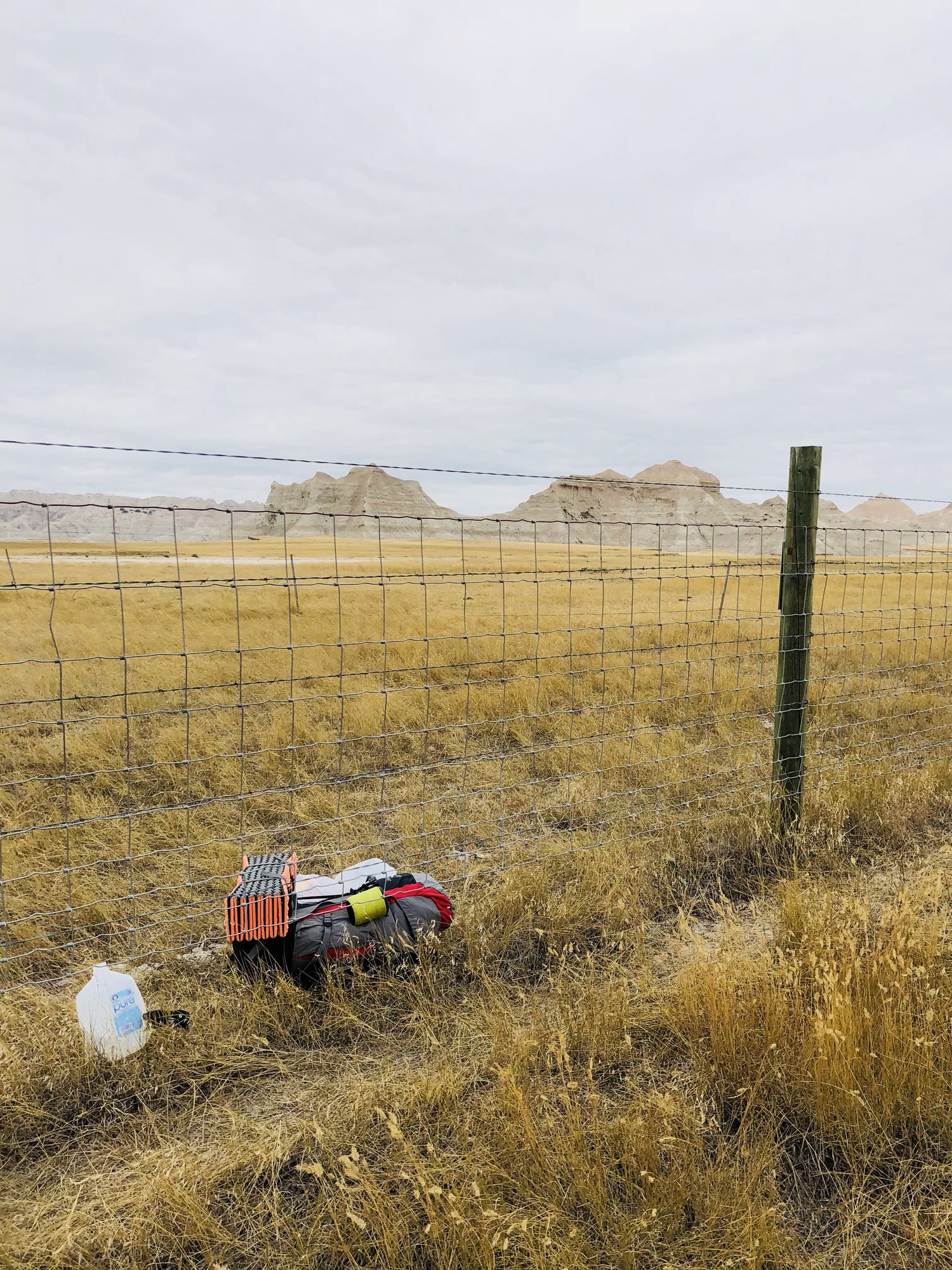
Then the trail itself threw one last curveball: the map pointed straight ahead, and a fence with no gate blocked the way. I looked left, looked right, hesitated, then slid under and pulled my pack through after me, figuring that if a rancher showed up I'd just explain and hope honesty counted for something.
By noon I could see Deer Haven in the distance, and finally the Conata Picnic Area. I had imagined the finish differently. Maybe a family out for lunch, a hiker to swap stories with, someone to witness the end of this wild, personal challenge. It was empty. Of course it was: a Tuesday in September, everyone else stuck in meetings. Nature doesn't throw parades.
I didn't feel disappointed. Just a quiet acceptance. This journey was never about applause.
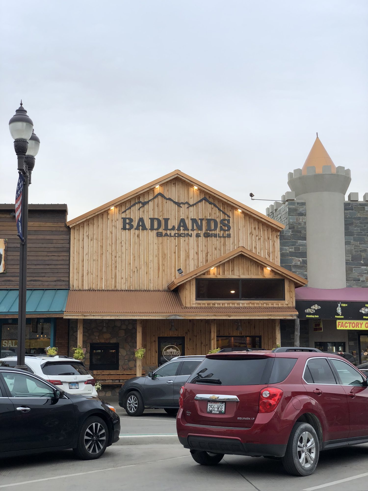
Here's the part nobody warns you about: after 23 miles through the Badlands, the hardest walk was the 20 feet of pavement from my car to the hotel reception. My legs were done taking orders. That evening I limped to a nearby saloon and grille, ordered chicken wings and mozzarella sticks, and inhaled them like the finest cuisine on earth. I updated my Facebook profile photo. Humble brag mode: activated.
The faces in the granite
I had planned to hike Black Elk Peak the next morning. Instead, I gave myself some grace and drove to Mount Rushmore.
I'd seen the pictures my whole life, but nothing prepared me for standing in the shadow of those four faces. Inside the museum I lingered over sculptor Gutzon Borglum's vision: not just a monument, but the story of a country constantly redefining itself. Born out of struggle, tested by expansion, pushed forward by progress, preserved through unity.
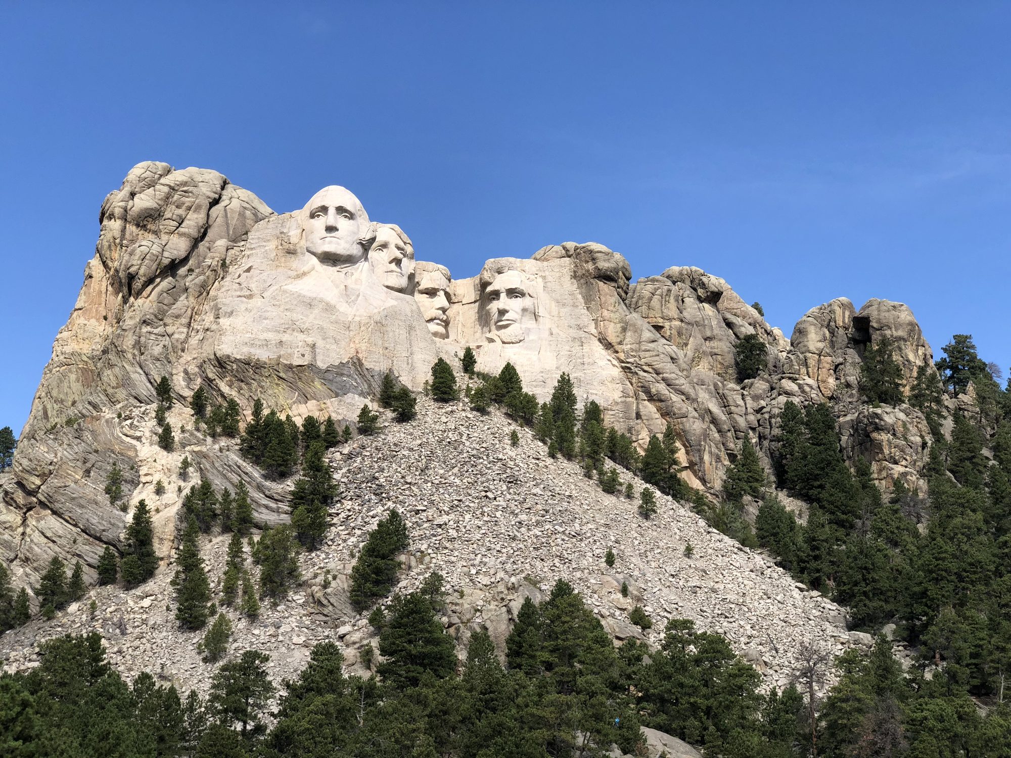
Standing there as someone who came to America with curiosity about its story, it felt like the perfect bookend. Every nation, like every person, carries a journey of becoming: breaking, building, persevering. My test that week was a small one by comparison. But it was mine.
What the Badlands taught me
At the gate that afternoon, I let the trip replay like a highlight reel: the cancelled flights, the shortcut that became the long road, the near-quit, the sheep on the ridge, the pronghorns, the bison, the staring cows, the coyote howls, the shredded shins. Here's what survived the replay:
- Preparation matters, and so does its limit. Every hour of training paid off, just never in the way I expected. The trip was saved by a backup I almost didn't bother downloading.
- Never trust a shortcut in terrain you don't know. The landscape lies. The flat stretch ahead is hiding gullies.
- Eat the whole meal. Bland is not a reason. Your legs will invoice you later.
- Prairie grass always wins. Wear pants.
- The trail will break your plan. That's not the same as breaking you. Compressing four days into three wasn't failure. It was the trip teaching me the difference between the plan and the goal.
As the plane lifted, I pressed my forehead to the glass and watched the Badlands spread out below like a rugged painting: striped canyons, sharp ridges, endless prairie rolling into the horizon. I smiled and thought, I have a new story to tell.
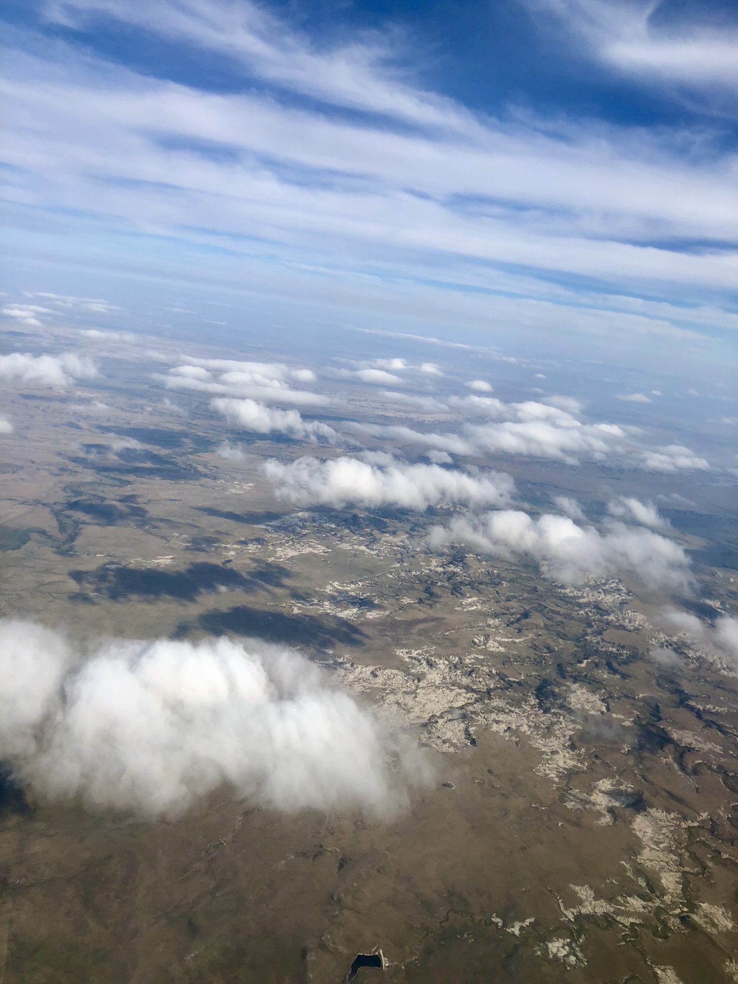
The addiction to the Himalayas still remains. But now, when I introduce myself, it carries a little extra weight: I once went solo backpacking in the Badlands.
This story is adapted from my book, A Humble Brag About Nearly Quitting in the Badlands, the full account of the trip: the planning, the near-quit, and everything the trail taught me. If you've ever craved an adventure but feared the unknown, it was written for you.